Idaho BackCountry Weather Sites
This page has been replaced by a graphical map page.
You will be forwarded momentarily.
Please replace any bookmarks you have for this page.
DISCLAIMER: The information provided on this site is provided without warrantee. Though we do our best to provide accurate and up to date information, circumstances may occur that affect the accuracy of our information. You are advised to use your best judgement as you plan your venture.
Table of Contents
Click on an image to see an enlarged version. The thumbnail images
don't update automatically, but you can click your browser's update button ( or
or  ) to see the latest
versions.
) to see the latest
versions.
Click on the "Weather" text below the thumbnail report to see the current
weather conditions.
Flying B (Sponsored by Flying Resort Ranches)
Wind: Northwest 4 mph
56.1°F 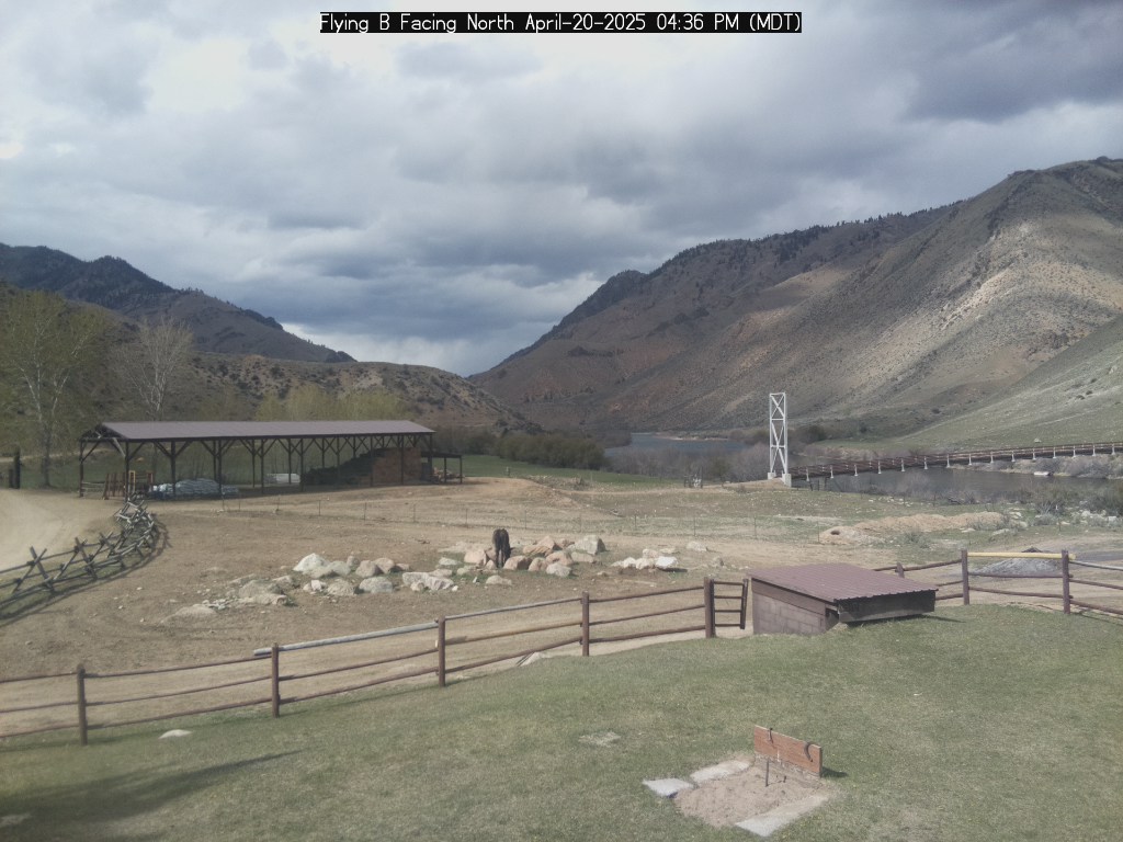
Weather
North Webcam
South Webcam
Map
Actual Altitude: 3654 ft | Estimated Air Density Altitude: 4600 ft
Root Ranch; Battery Charge=78.409
%; (Sponsored by Flying Resort Ranches)
Wind: Southeast 3 mph
36.9°F 
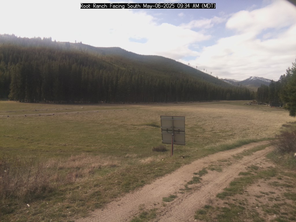
Weather
North Webcam
South Webcam
Map
Actual Altitude: 5600 ft | Estimated Air Density Altitude: Not Current ft
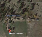
Sulphur Creek; Battery Charge=63.238
%; (Sponsored by Idaho Aviation Foundation)
Wind: South-southwest 0 mph
48.6°F 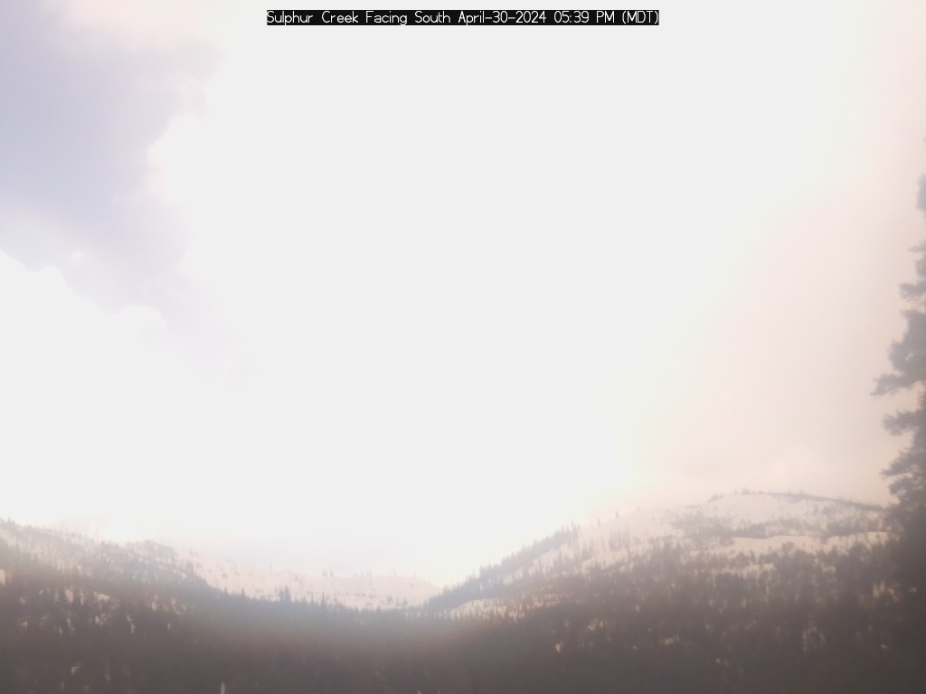
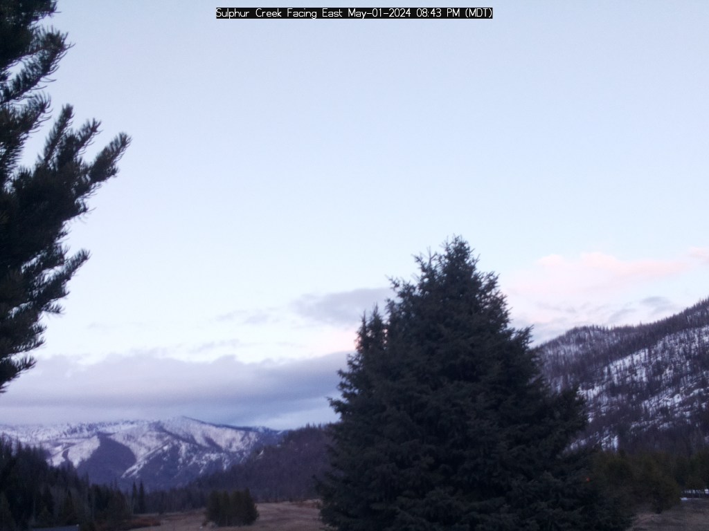
Weather
South Webcam
East Webcam
Map
Actual Altitude: 5840 ft | Estimated Air Density Altitude: Not Current ft
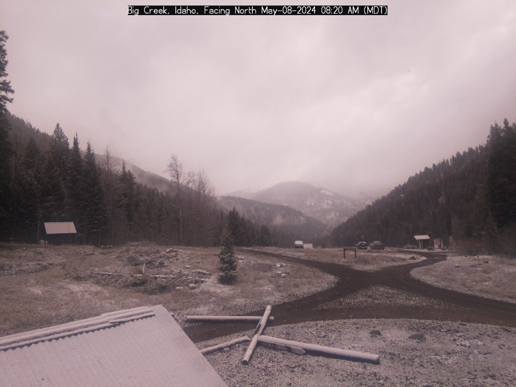
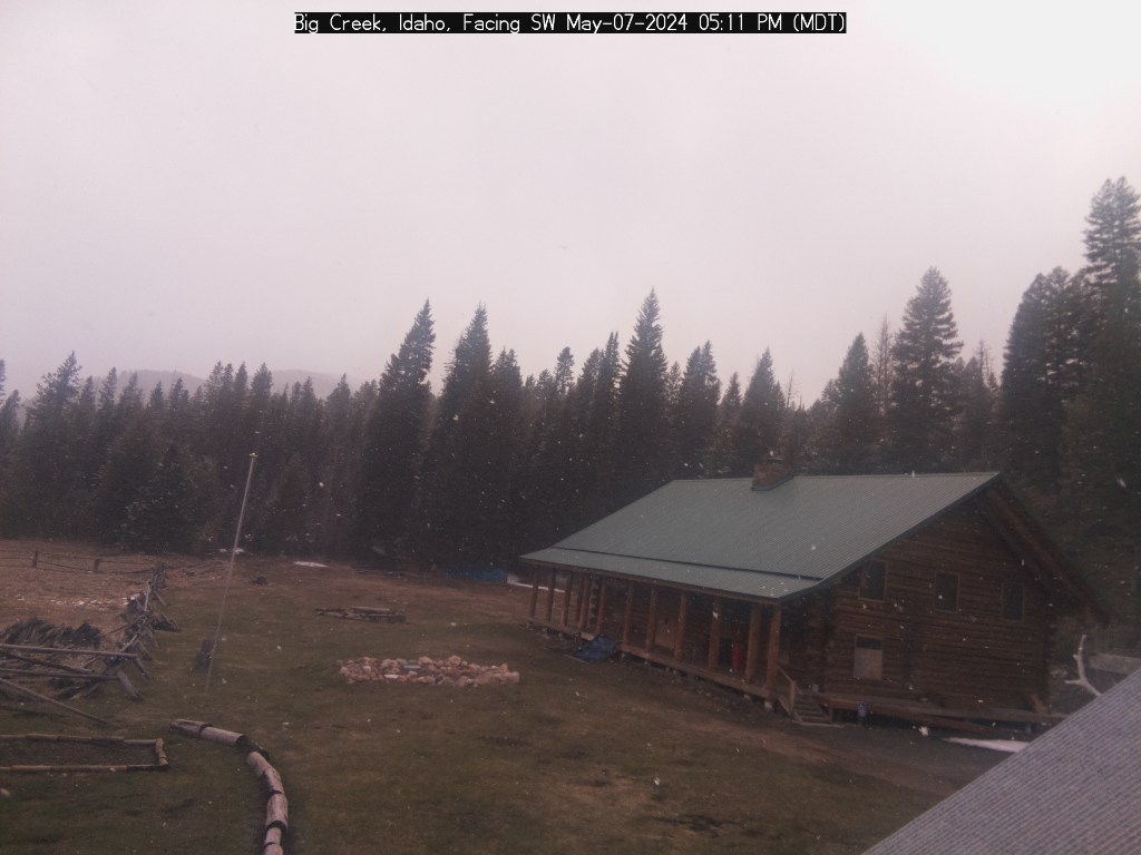
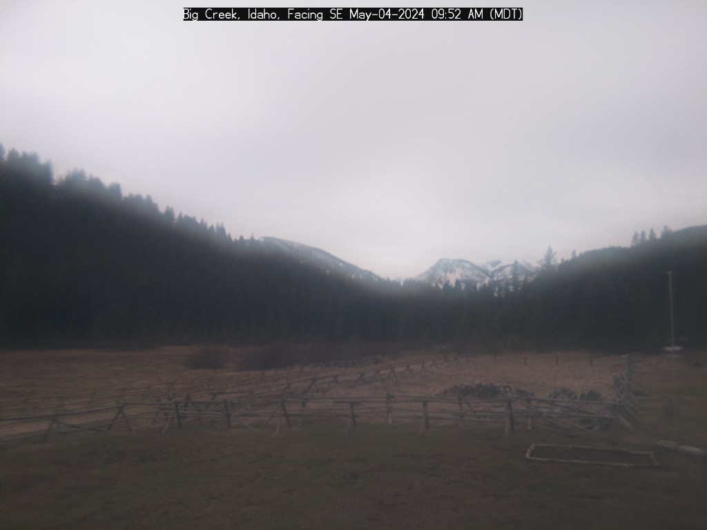
Big Creek; Battery Charge=70.96
%; (Sponsored by Idaho Aviation Foundation)
Wind: West 0 mph
50°F
Weather
North Webcam
SouthWest Webcam
SouthEast Webcam
Map
Actual Altitude: 5738 ft | Estimated Air Density Altitude: 6800 ft
Sponsored by:
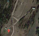
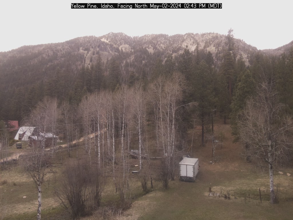
Yellow Pine (Sponsored by Idaho Aviation Foundation and the Kif Brown Foundation)
Wind: Southwest 1 mph
50.4°F 

Weather
South Webcam
West Webcam
NorthWest Webcam
Map
Actual Altitude: 4834 ft | Estimated Air Density Altitude: 5800 ft
Sponsored by:
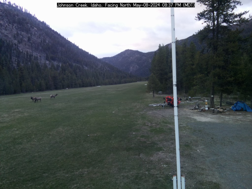
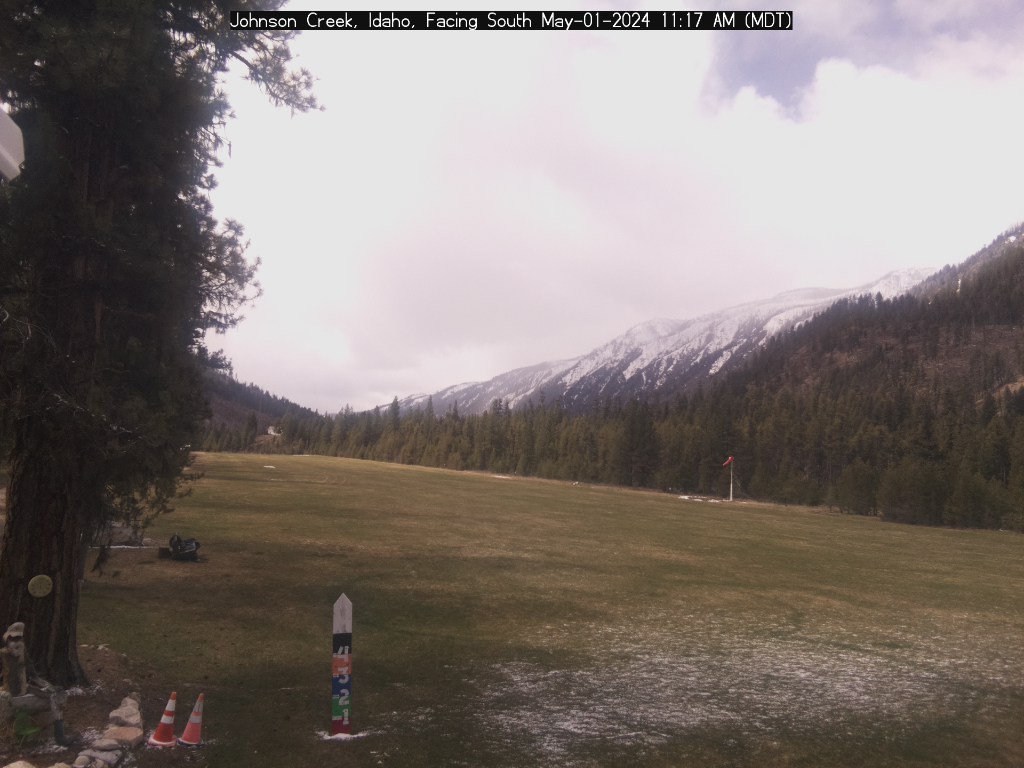
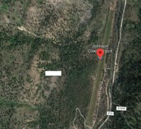
Johnson Creek (Sponsored by Idaho Aviation Association)
Weather
North Webcam
South Webcam
Map
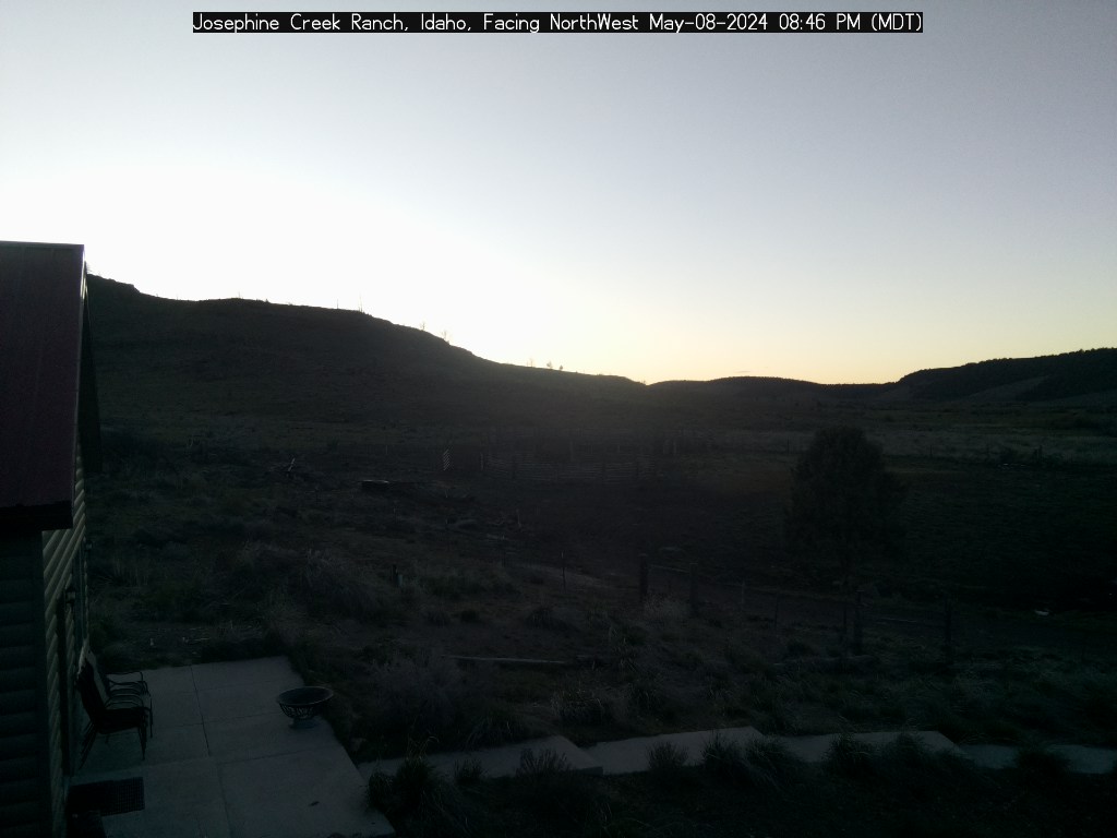
Josephine Cr; Battery Charge=84.994
%; (Sponsored by Idaho Aviation Foundation)
Wind: Northwest 0 mph
47.4°F
In: 56°F
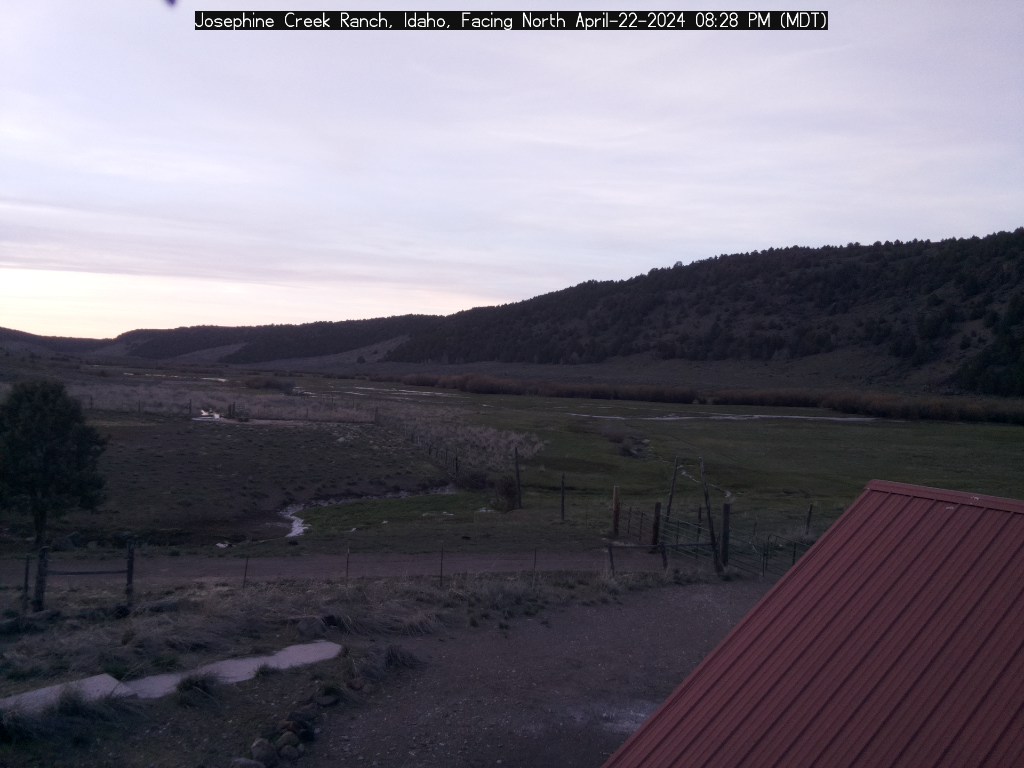
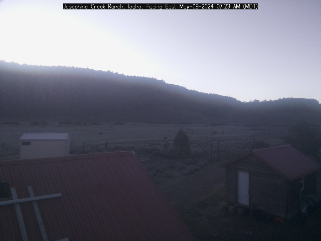
Weather
NorthWest Webcam
North Webcam
East Webcam
Map
Actual Altitude: 5300 ft | Estimated Air Density Altitude: 6000 ft
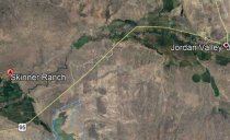
Skinner Ranch, Jordan Valley, Oregon (Sponsored by Idaho Aviation Foundation)
Wind: North-northwest 6 mph
53.3°F 
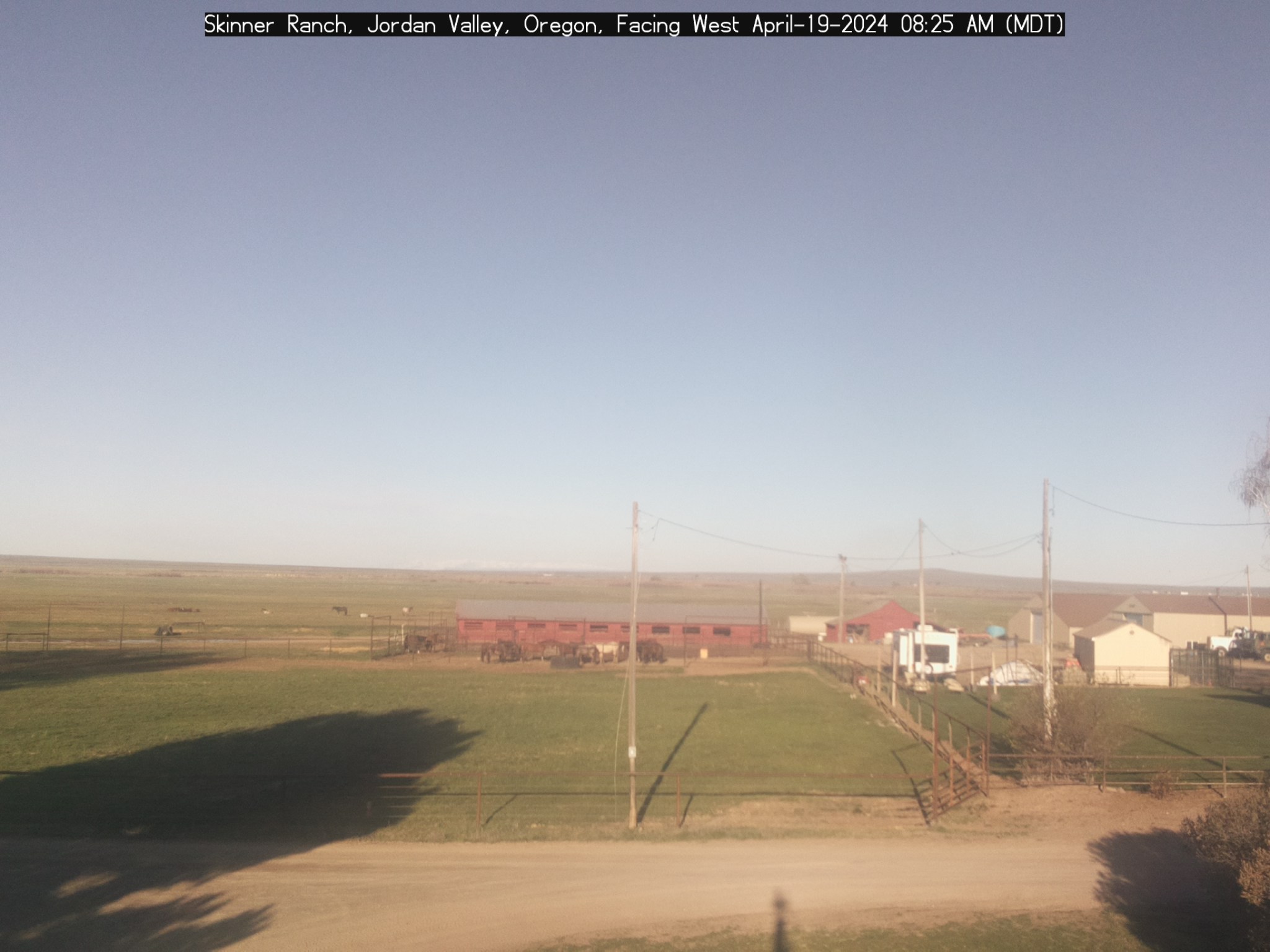
Weather
NorthWest Webcam
West Webcam
East Webcam
Map
Actual Altitude: 4243 ft | Estimated Air Density Altitude: 5100 ft
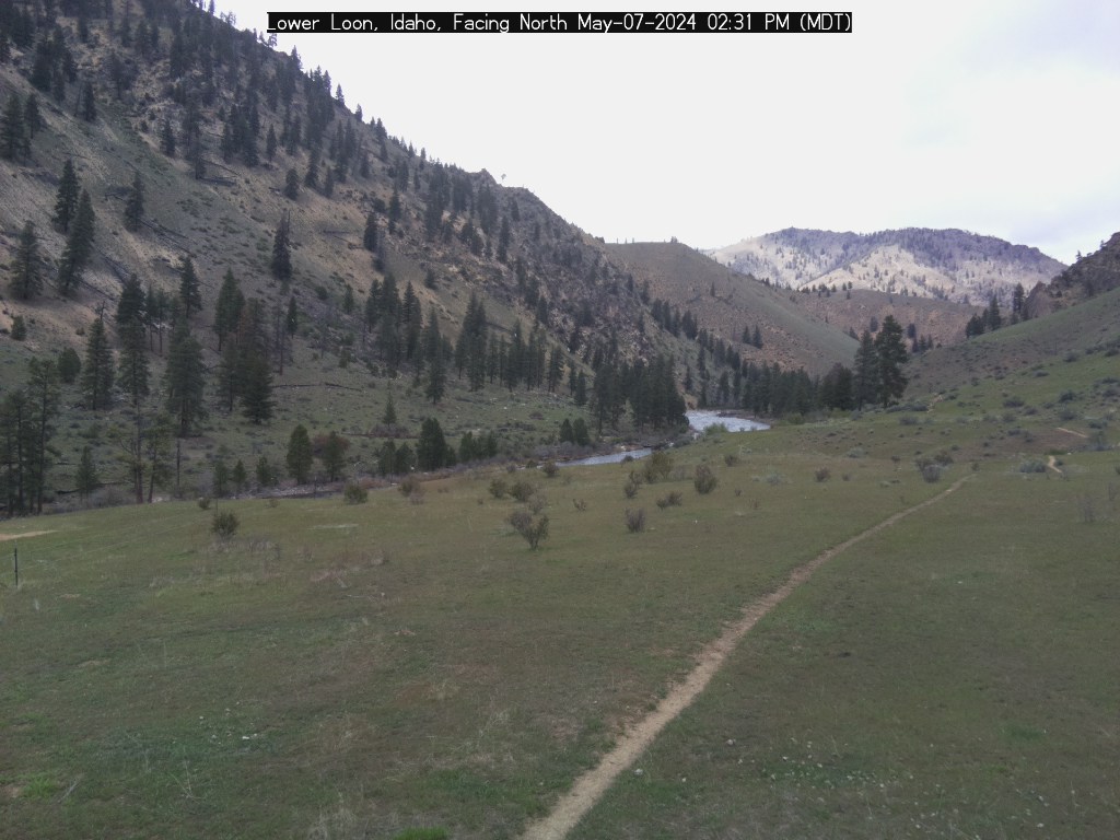
Upper Loon, Idaho (Sponsored by Idaho Aviation Association)

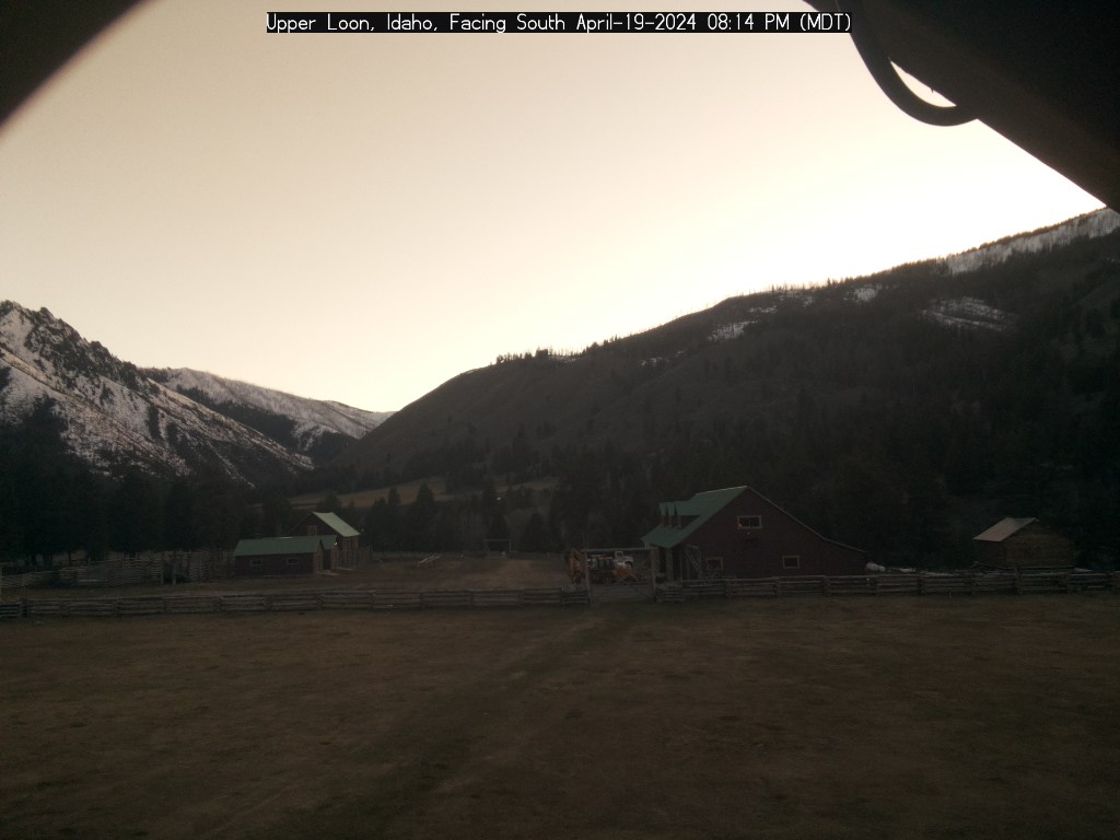
North Webcam
South Webcam
Map
Lower Loon; Battery Charge=81.669
%; (Sponsored by Idaho Aviation Foundation)
Wind: North-northeast 2 mph
54.1°F 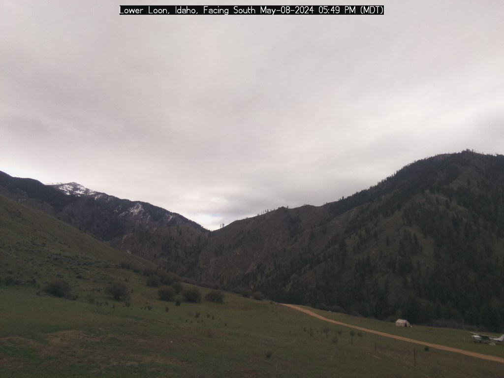

Weather
South Webcam
North Webcam
West Webcam
Map
Actual Altitude: 4073 ft | Estimated Air Density Altitude: 4800 ft
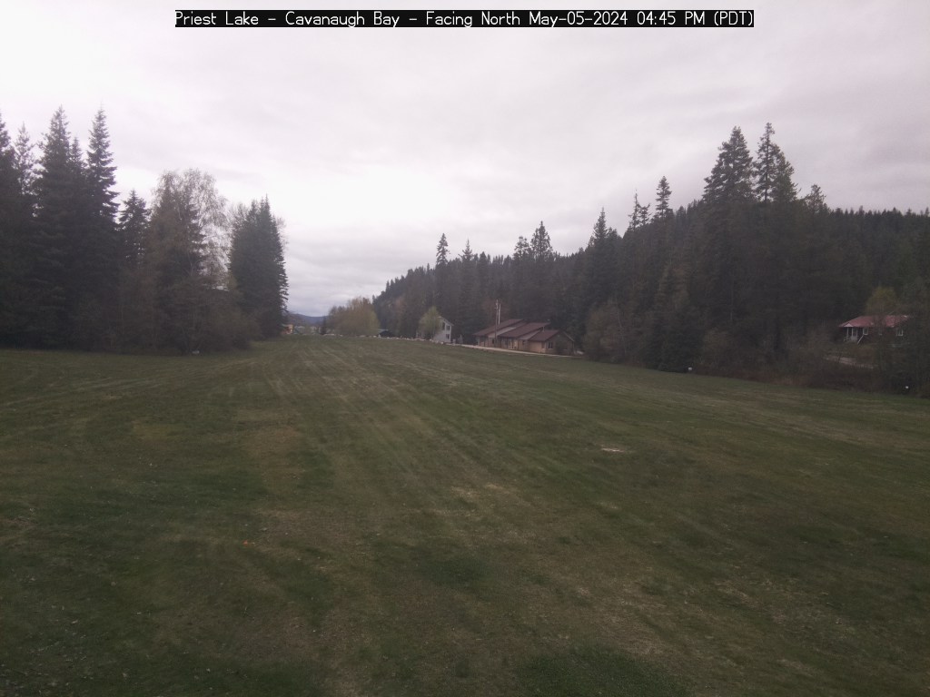
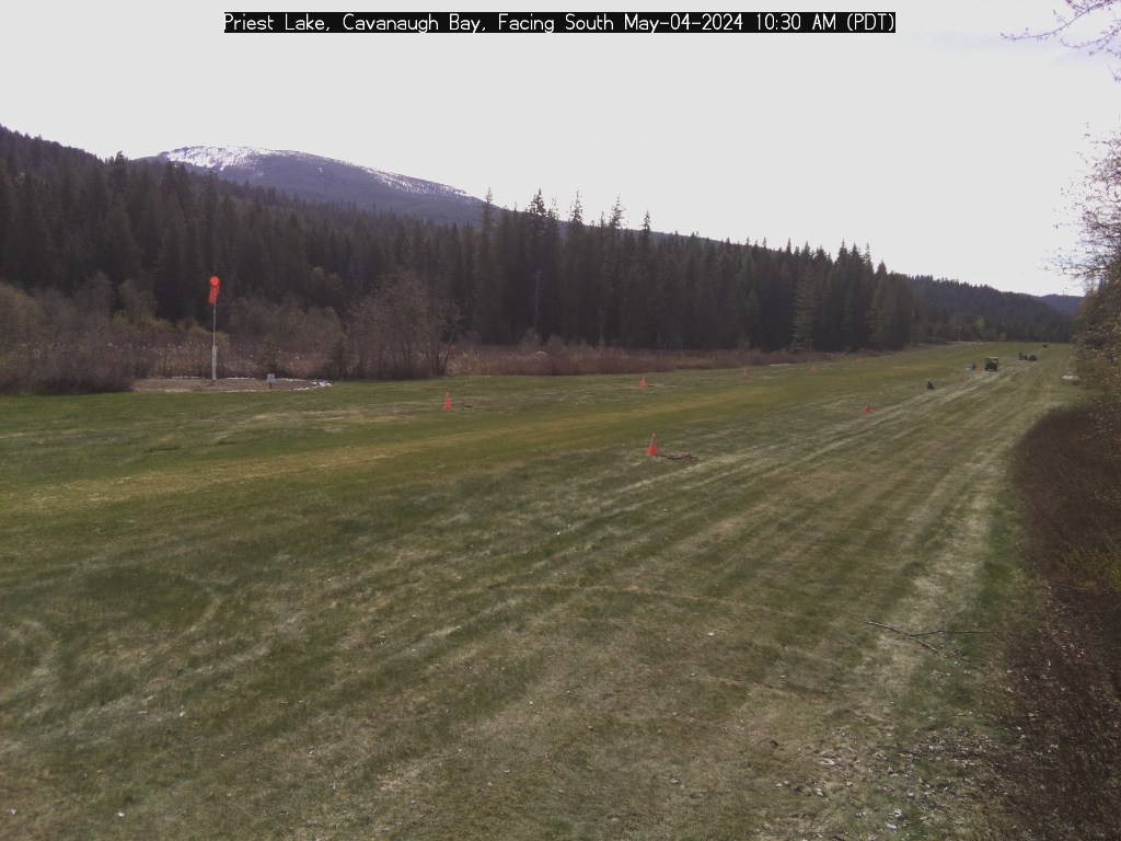
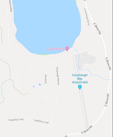
Priest Lake-Cavanaugh Bay, Idaho (Sponsored by Idaho Aviation Association)
Weather
North Webcam
South Webcam
Map
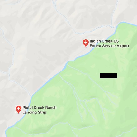
Indian Creek (Middle Fork Salmon), Idaho (Sponsored by Idaho Aviation Association)
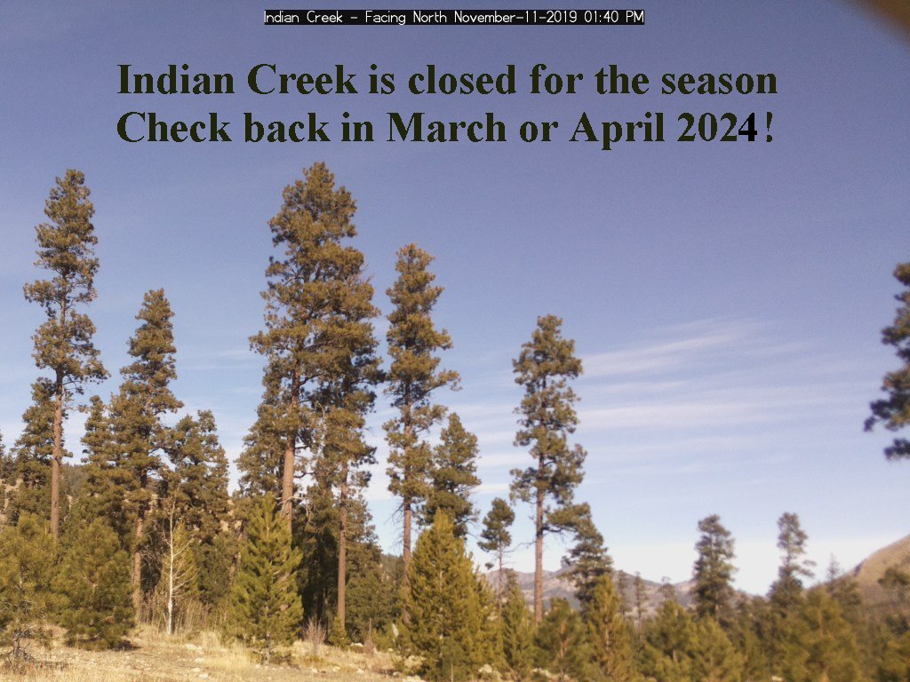
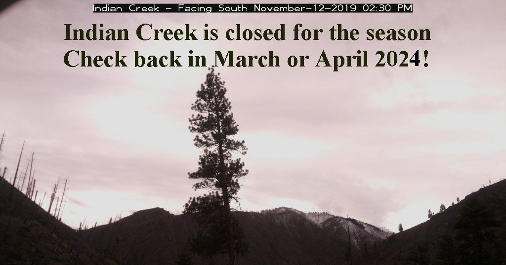
North Webcam
South Webcam
Map
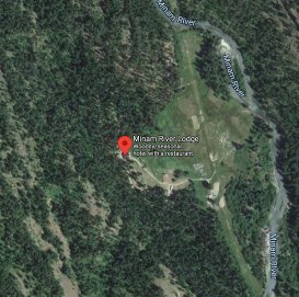
Minam River Lodge, Oregon
Wind Dir: North 5
Wind: North 2 mph
52.9°F 
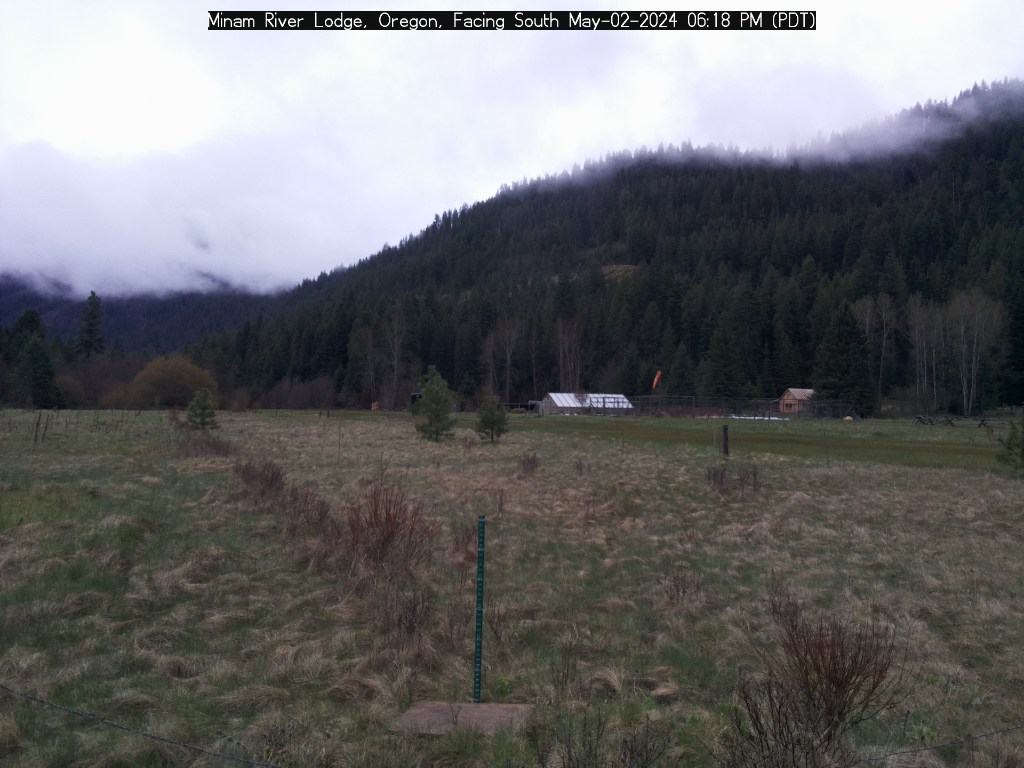
Weather
East Webcam
North Webcam South Webcam
Map
Barometer is: 29.819
Actual Altitude: 3580 ft | Estimated Air Density Altitude: 4300 ft
Warm Springs Landing, Below Dug Bar, Snake River
Wind: North 5 mph
60°F 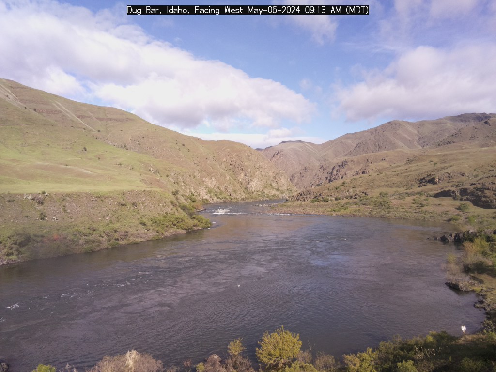

Weather
West Webcam
South Webcam
Map
Barometer is: 29.859
Actual Altitude: 1030 ft | Estimated Air Density Altitude: 1500 ft
Black Cat
Wind: West-northwest 1 mph
56.9°F
In: 64.7°F


Weather
Top of the Hour
15 Minutes After
30 Minutes After
45 Minutes After
Actual Altitude: 2540 ft | Estimated Air Density Altitude: 3400 ft
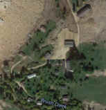
Rush Creek - Cambridge
Wind: South 0 mph
56°F
In: 61.8°F 


Weather
Top of the Hour
12 Minutes After
24 Minutes After
36 Minutes After
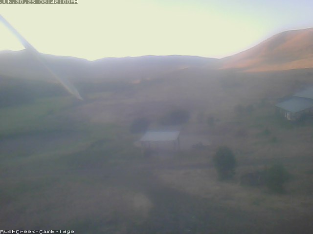
48 Minutes After
Actual Altitude: 2980 ft | Estimated Air Density Altitude: 3700 ft
Eye-n-Sky LLC designs and builds these weather stations for pilots,
recreationists, and other back-country users.
Return to Eye-n-Sky LLC Home Page
for information on purchasing a weather station for your ranch or airstrip.